Free Regional Crop Status Maps
You will be happy to hear that we now offer free regional crop status maps at monthly interval. Below is an example of such a map for the...


Tracking potato farming with satellite images and change analyses is … well … small potatoes!
Potato production in developing countries are rapidly increasing, with China being the largest producer by far. With ever-increasing...
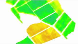
At last, satellite evidence that farmers are busy bodies
This video of satellite images shows how dynamic a typical farm is. See how the condition of a range of different crop types on this farm...
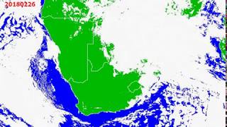
Cloudy, with no rain...
This animation of satellite images shows daily cloud cover over the southern tip of Africa since November 2017 (when the growing season...


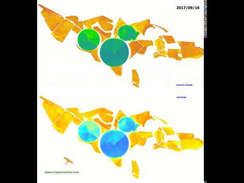
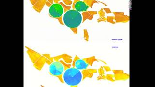
Satellite-based intelligence for growing grapes
Table grape growing is an expensive business mainly due to the enormous initial establishment costs, but even the ongoing operational...


How satellites track changes in citrus growth
Citrus farmers will find this info-graphic of a series of satellite images of citrus orchards most interesting…See how rapidly these...